Wildfire Response Model Overview
Modelling multi-drone wildfire response
Why - Understanding Effectiveness of Drones in Wildfire response
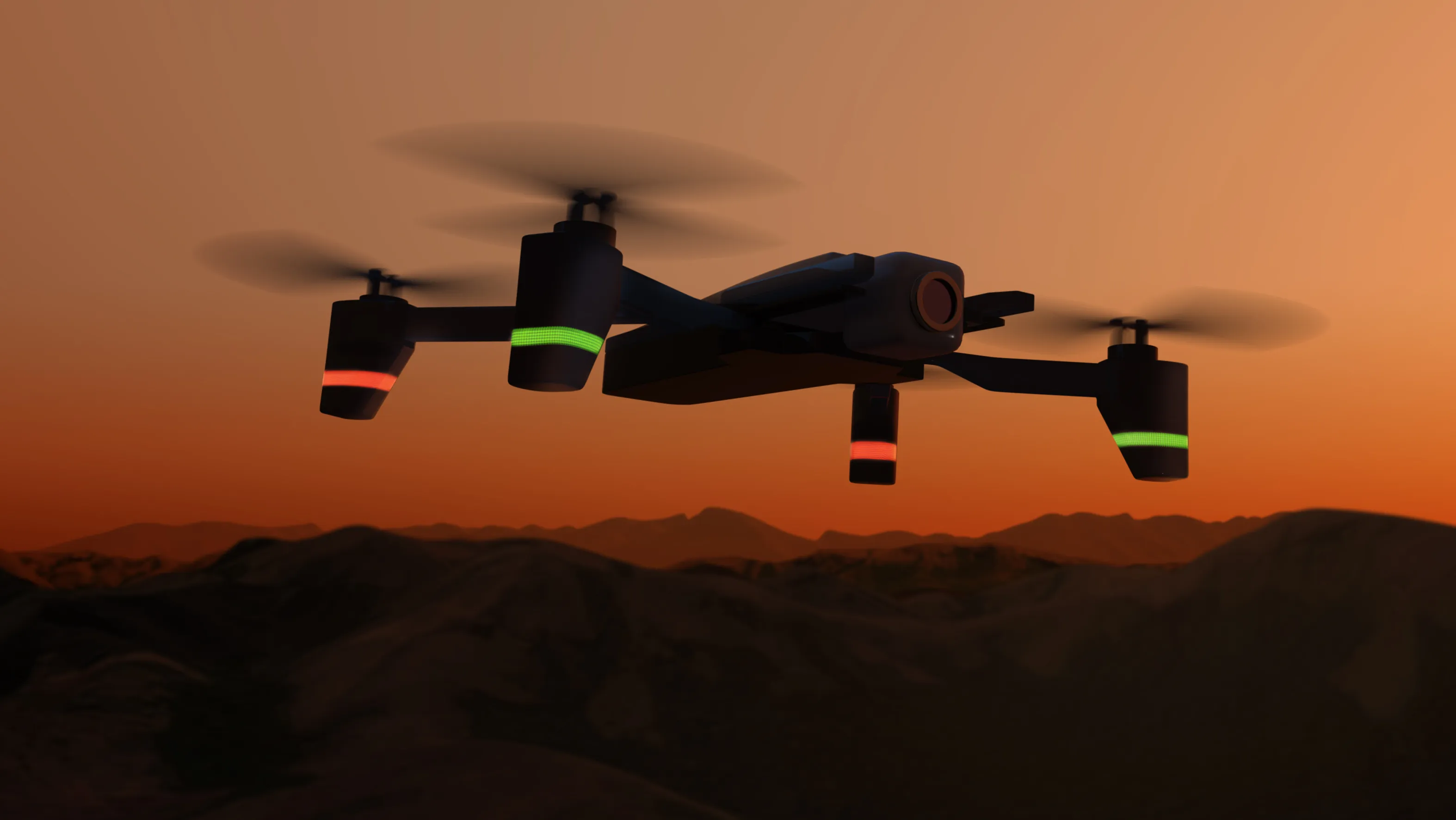
Autonomous flight presents some major long-term opportunities for Wildfire Response, such as:
Flying with reduced risk to pilots
Increased aircraft availability for operations
More information to ground operations
…
In-field evaluation is expensive
It’s also limited to the types of assets we have now
Need a testbed for evaluating radical changes to ConOps and Missions enabled by autonomy
PC: NASA/Daniel Rutter, nasa.gov/centers-and-facilities/ames/acero-and-wildland-fires/
What are we trying to do?
Simulate firefighting response effectiveness of wildfire suppressions in a range of configurations, such as:
Types of aircraft
Coordination between aircraft
Types of bases and their placement
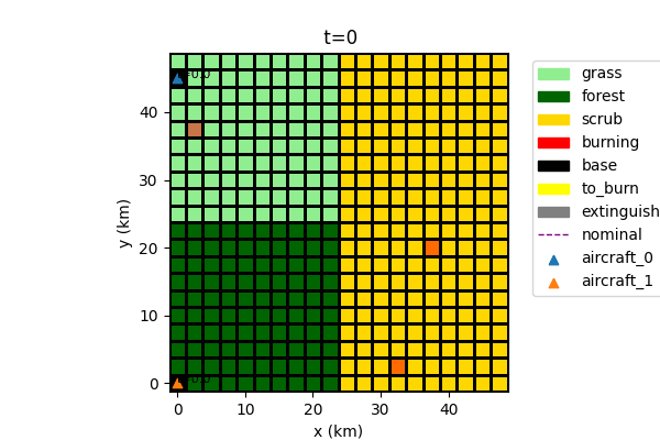
Setup: Model Structure

Major parts:
FirePropagation: Determines spread of the fire over time based on environmental conditions (e.g., fuels)
FireEnvironment: Shared grid of fuels, base placements, etc.
Aircraft(s): Aircraft used for suppression efforts. The number of aircraft may change depending on configuration
Other parts could be added as needed e.g., for reconnaissance, lead planes, helicopters, etc.
Setup: Environment and Mission
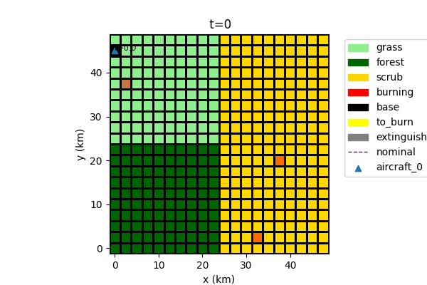
Fire propagates depending on environmental conditions
fuels etc.
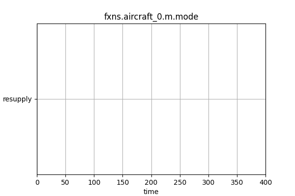
Aircraft perform different tasks:
Resupply (at base)
Flying to base
Flying to fire location
Fire mitigation (at fire)
Fire location determined at base and refined in flight
How effective are different numbers of aircraft?
More effective (Fire out at t=25 min) due to more rapid response!
Fire is out before spreading out of control
Assumption is one base per asset - can be improved in future work
What if we move the location of the air base?


Study showed that response performs better when the base is closer to faster-burning fuels
Down to 5% average area burned from 8% (see figures at right) over a range of 50 3-strike fire scenarios.
This optimization approach can be re-used to tailor the response to different maps
What about alternative fire scenarios?
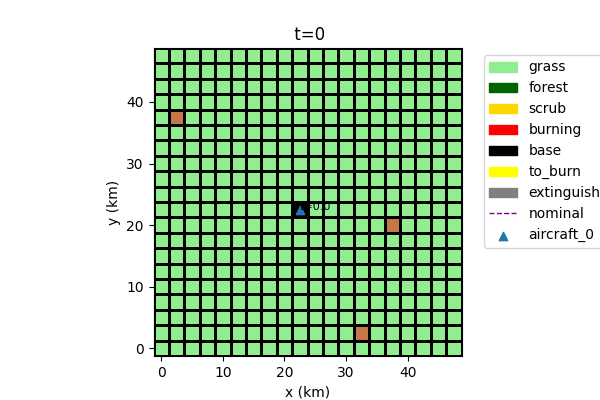
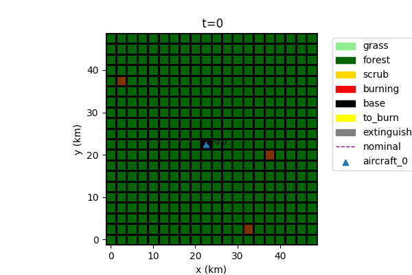
Grass -> Fire more likely to spread uncontrollably
Forest -> Fire mitigated quickly without spreading
These assumptions are simplistic!
Real fires are much less predictable and firefighting is much less effective
Conclusions and Path(s) from here
What we have:
A pretty basic multi-aircraft aerial firefighting model
Can answer some questions about base allocation
Potential extensions:
Add aircraft interactions in shared airspace
Aerial reconnaissance and situation awareness effects (studied previously in smart-stereo model*)
Helicopters and ground-based fire mitigation
Add in broad range of fire behaviors–wind, heat, etc.–to improve realism
Ability to tailor to real historic fires
Add in and study fault/failure scenarios
* Andrade, S. R., & Hulse, D. E. (2022). Evaluation and improvement of system-of-systems resilience in a simulation of wildfire emergency response. IEEE Systems Journal, 17(2), 1877-1888. ntrs.nasa.gov/api/citations/20210021739/downloads/ISJ-RE-21-13446-finalpdf-combined.pdf
Conclusions for fmdtools
Showcases ability of fmdtools to model Systems of Systems where:
Multiple assets interacting with a shared environment
Many scenarios (strike locations, maps) for environment are possible
Environment also changes dynamically over time
Showcases parameterization–number of assets as well as properties of the environment can be changed
Shoowcases ability to efficiently optimize complex SoS models over a range of scenarios (in this case strike locations)