

Satellite data processing can be difficult.#
We're here to help you climb out of that hole!
This constantly updated collection of Jupyter notebooks is meant to help you get started accessing, visualizing, and analyzing OB.DAAC (Ocean Biology Distributed Active Archive Center) data products with Python. You can learn from these notebooks either by viewing the code and results on this webpage, or by downloading a notebook file, using the menu in the upper right to get the .ipynb file, and running it with JupyterLab. We welcome your input! If you have suggestions for new notebooks or ideas to improve existing ones, please share them by creating an issue or sending an email to carina.poulin@nasa.gov. If you plan to run any of these notebooks but don’t know how to start, please continue to the next section for information about the Earthdata Cloud and environments in Python. If you are familiar with running our notebooks, feel free to explore the Help Hub’s different sections:
Help Hub Core#
Explore these themes to get essential skills to access, process and visualize data.
Data Basics
 Learn fundamentals of accessing and processing data products.
Visualizations
 Find out how to make visualizations with data from various instruments
Cloud & Atmosphere
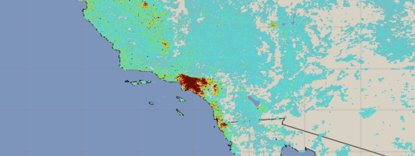 Explore atmospheric and cloud data products including aerosol retrievals and trace gases.
Land Surface
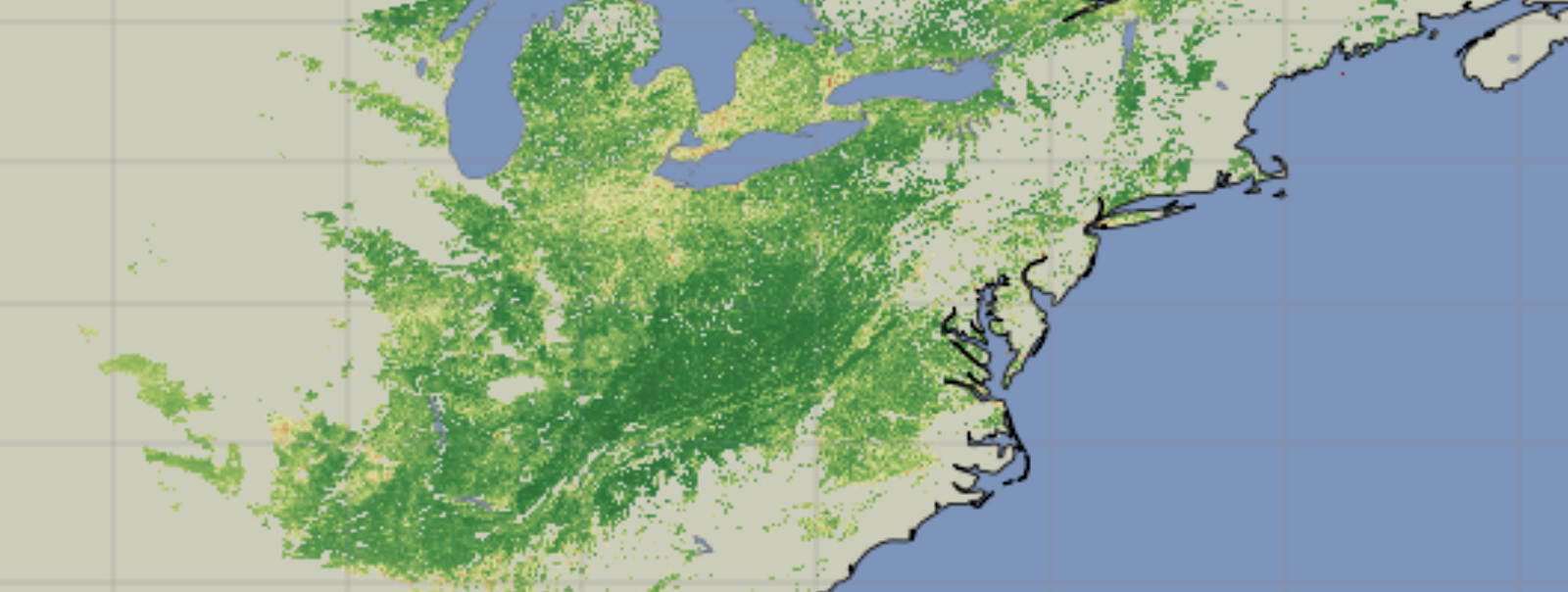 Work with terrestrial data products for monitoring vegetation and land cover.
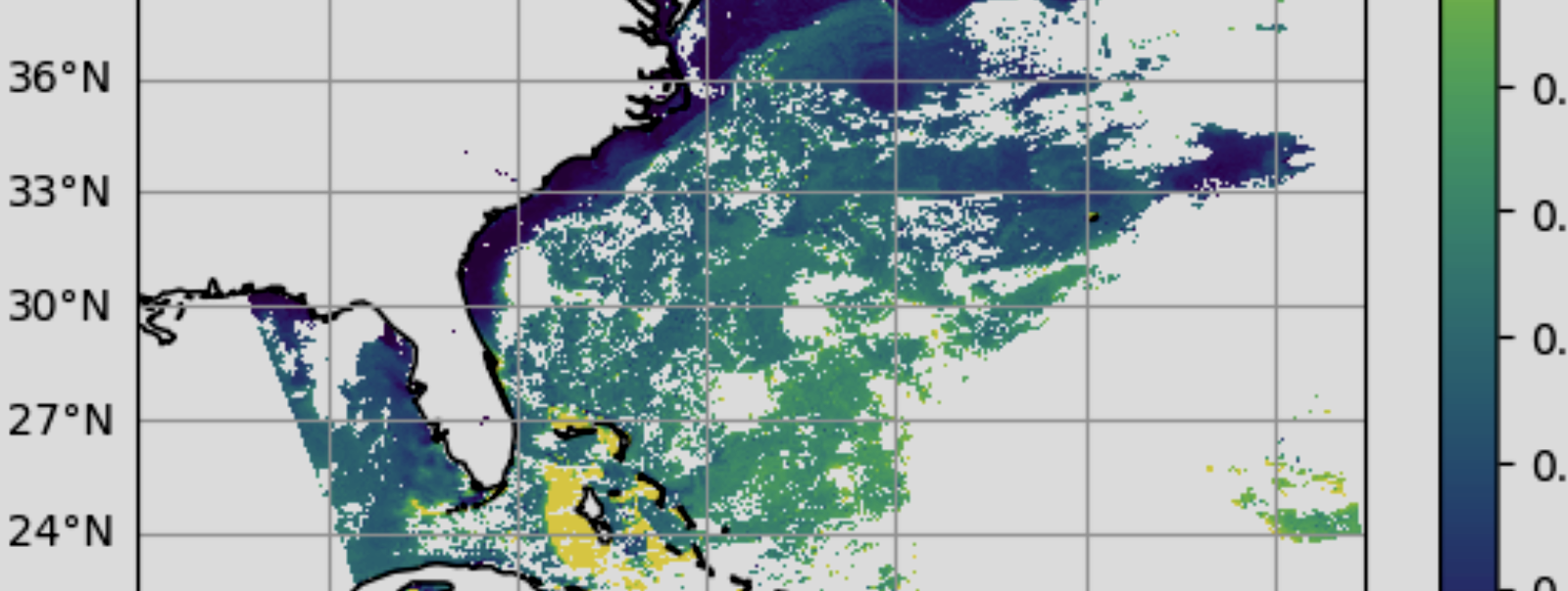
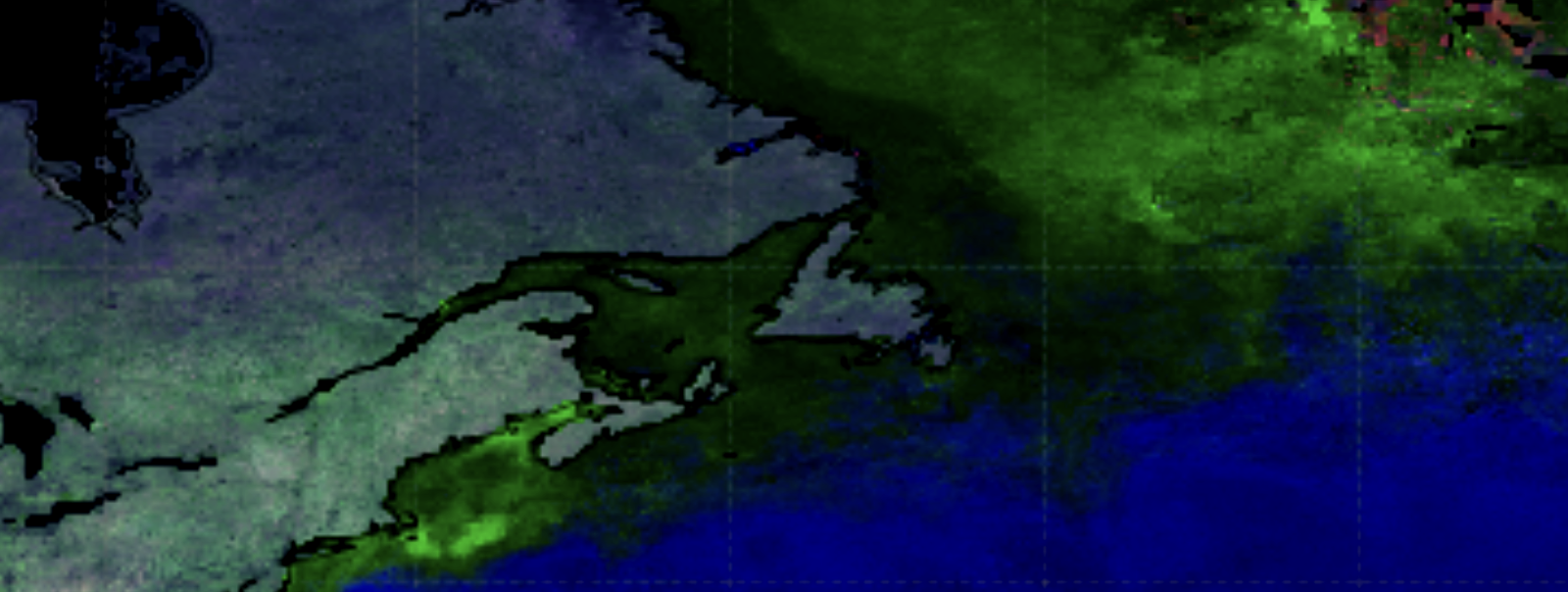
Ocean
 Dive deeper into ocean data products.
SeaDAS - OCSSW Toolbox#
SeaDAS Videos
Learn how to use the official software of the OB.DAAC for analysis and visualization of remote sensing data with these videos.
SeaDAS-OCSSW Notebooks
Use this series of Jupyter Notebooks to learn to use the SeaDAS-OCSSW tools.
Past Trainings & Events#
Find the tutorials from past trainings and events