geotiff_example.pro
includes main-level programGEOTIFF EXAMPLE
This script demonstrates reading a Mars MOLA DEM geotiff and projecting it onto an orthographical map for display. The geotiff provided in the demo directory was downsampled by a factor of 20 from the original MOLA DEM from https://astrogeology.usgs.gov/search/map/Mars/GlobalSurveyor/MOLA/Mars_MGS_MOLA_ClrShade_merge_global_463m
There is no need for SPICE/Icy for this example. It can be run by doing:
.run geotiff_example
Read geotiff file
dd=dat_read(getenv('OMINAS_DEMO')+path_sep()+'data'+path_sep()+'Mars_MGS_MOLA_DEM_mosaic_global_9260m.tif')
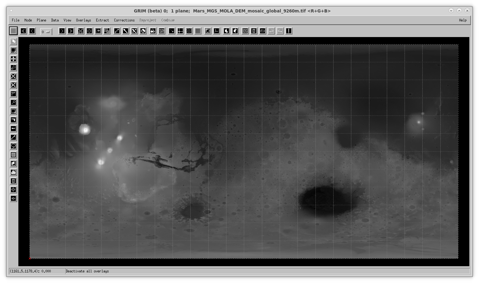
Display geotiff on grim
Get a map descriptor and use it to show the DEM on grim with a map grid:
 md=pg_get_maps(dd)
 ;subtract the minimum elevation, so that the data range starts at 0, for visualization
 da=double(dat_data(dd))
 damin=min(da)
 da-=damin
 dat_set_data,dd,da
 grim,dd,cd=md,order=0,overlay=['planet_grid']

Map into orthographic projection
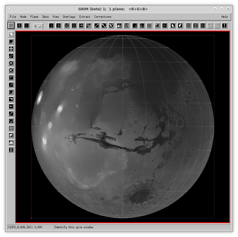
Now we will display it in an orthogonal projection. First we define it:
 map_xsize = 4000
 map_ysize = 4000
 mdp= pg_get_maps(/over,  $
   name='MARS',$
   projection='ORTHOGRAPHIC', $
   size=[map_xsize,map_ysize], $
   origin=[map_xsize,map_ysize]/2, $
   center=[0d0,-60d0*!dpi/180d0])
dd_map=pg_map(dd,md=mdp,cd=md,pc_xsize=800,pc_ysize=800)
grim,dd_map,cd=mdp,overlays=['planet_grid'],order=0,/new

Save geotiffs from OMINAS maps
Put map descriptors in data descriptors:
 cor_set_udata,dd_map,'md',mdp
 cor_set_udata,dd,'md',md
 ;scale data for geotiff
 ndd=nv_clone(dd)
 ndd_map=nv_clone(dd_map)
 dat_set_data,ndd,bytscl(dat_data(ndd))
 dat_set_data,ndd_map,bytscl(dat_data(ndd_map))
 dat_write,'./outputs/geotiff_ex1.tif',ndd,filetype='GEOTIFF'
 ;dat_write,'./outputs/geotiff_ex2.tif',ndd_map,filetype='GEOTIFF'

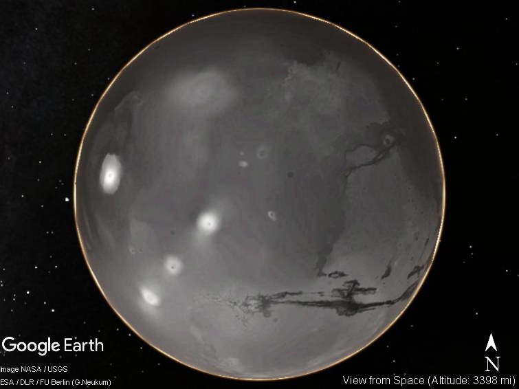
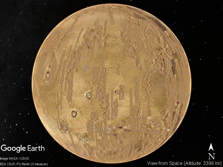
For comparison, this is GoogleEarth Pro's base layer, with the same perspective

File attributes
| Modification date: | Tue Mar 5 23:55:30 2019 |
| Lines: | 27 |
| Docformat: | rst rst |